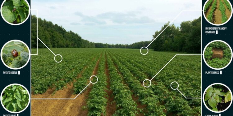
Taking Earth pictures from above allows for “catching” large and remote lands and seeing much more than a human eye could capture when standing on the ground. Technological advances in remote sensing help humans in collecting and analyzing these pictures on-the-fly. Let’s see how we have come to this and what the future holds for remote Earth observation technologies.
History and Types of Remote Sensing Technology
Images made by aircraft and satellites are one of the main and fastest-growing sources for Earth data collection. Although remote sensing technology has years of development history behind, modern technological innovations and legislative changes have resulted in dramatic increase in the types of imagery that is now available and used by different industries, from agricultural sphere with NDVI values analysis to human right protection thanks to modern slavery cases detection.
Ultimately, all remote sensing technologies are divided into active and passive:
- Active remote sensing implies that the sensor applies its own illumination, emitting radiation and measuring the obtained result.
- Passive remote sensing covers most remote sensing instruments and uses the sun as the energy source for illumination, enabling retrieving pictures of visible, near-infrared and thermal infrared energy.
So, how do these imaging systems differ from pictures taken with a simple camera? The biggest difference is that they are not restricted only to the “visible” part of the electromagnetic spectrum, meaning the spectrum the human eye is not able to see. Remote sensing can measure energy at radio, thermal infrared, and near-infrared, wavelengths. Besides, most remote sensing instruments are able to record several wavelengths simultaneously, providing numerous images of the same location, where each picture corresponds to a different range of wavelengths. This has made remote sensing technology a part of almost every industry you can think of. The market is overflowing with different tools that leverage this technology for particular purposes. Let’s see what the current remote sensing technology market looks like and what its perspectives are for the future.
The Future of Remote Sensing Tech Market
According to the report by Grand View Research, the global remote sensing technology market is expected to reach over USD 29 billion by 2027. By the same year, the passive remote sensing segment and the aerial systems segment are both anticipated to expand by 8%. As for the countries that hold the highest market share in the remote sensing tech market, the leadership is taken by North American countries with the share of 38.12% in 2019. And that is due to the constantly growing number of precision farming apps that are used there.
Namely the increase in adoption of precision farming apps in agriculture, including greenhouse production software, is the main driving force that will lead to such remote sensing technology market growth in the following years. Such tools help agronomists to monitor crop and soil health, to plan fertilizer, pesticides, and water application, estimate yield, and much more. Overall, it enables farmers to become more efficient by cutting costs on production thanks to precision and saving resources while preserving the environment. To see how that works in the real setting, let’s see the particular case of remote sensing technology used for yield forecasting.
Remote Sensing for Yield Prediction
In this particular case, the company EOS Data Analytics (EOSDA) had a goal to create the most accurate field forecasts for Canada. However, the team discovered that some fields include woodlots and lakes, which complicated the process. Besides, there was a lack of historical data and low spatial variability of weather data.
The company had to analyze the soil type, weather and crop to predict yield scenarios by applying satellite data to every crop development stage. To analyze vegetation on fields, the company divided the fields by productivity zones, enabling better understanding of the heterogeneity of vegetation in each field. Besides, EOSDA concluded that both the accuracy and variability in vegetation analysis increased when applying LAI (Leaf Area Index).
Lina Yarysh, the Satellite Solution Consultant for Agriculture and Forestry at EOSDA, claims that the company can now easily predict yield in a province or region with over 80% accuracy.
All of this proves that remote sensing technology keeps developing and finding its use in different spheres. Already providing endless opportunities for industries, it is still expected to grow and offer even more in the future.


